Waste collection and street sweeping route monitoring
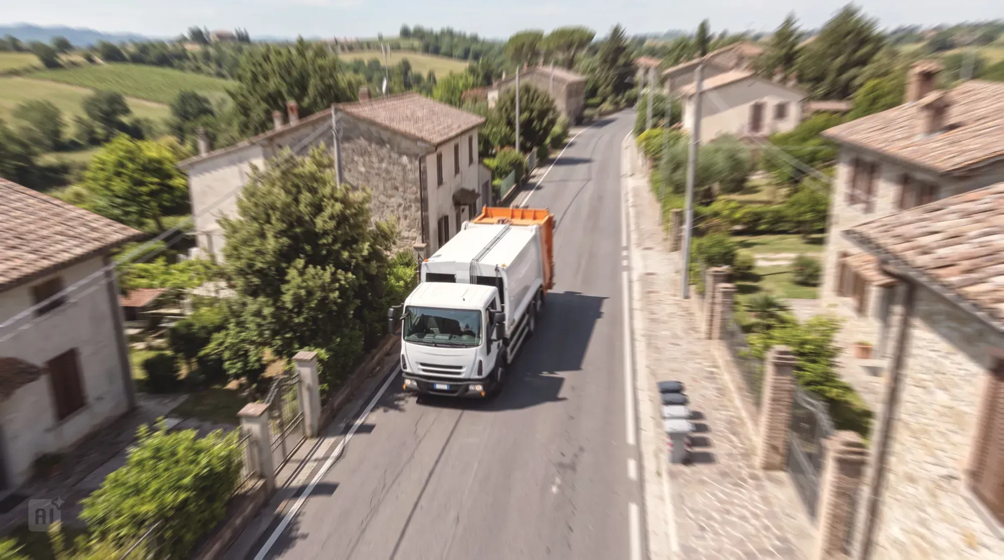
Better coordination of service delivery: satellite tracking enables a clear, up-to-date view of waste collection and street sweeping activities.
Arcoda’s solution provides a real-time map view of waste collection and street sweeping activities, improving coordination between on-site teams and the control room. The information available makes it possible to monitor service progress, respond promptly to problems and reduce service disruptions.
Who is it for?
Service and fleet managers, control room personnel, and back-office and call centre staff.
Benefits
Greater visibility of operational activities
An up-to-date view of services provides clearer insight into the progress of waste collection and street sweeping activities across the territory.
More effective operational coordination
Real-time information makes it easier to coordinate activities and supports better organisation of the service.
Faster response to problems
Continuous monitoring makes it possible to identify problems sooner and respond more promptly.
Fewer service disruptions
Greater control and coordination help prevent or limit situations that could disrupt regular service delivery.
Improved operational efficiency
An overview of activities helps manage services more effectively, reducing operational difficulties and improving service continuity.
Greater oversight across the territory
Up-to-date information provides a better understanding of what is happening in the different service areas and helps maintain oversight of activities.
Better-informed operational decisions
A clear, up-to-date overview helps managers assess priorities and manage services from day to day.
Greater service continuity and quality
More effective monitoring supports the regular delivery of waste collection and street sweeping services, benefiting the areas served and service users.
In depth
The challenges of coordination with incomplete information
Waste collection and street sweeping take place daily across a wide area and require constant coordination of vehicles, staff and services. Operations managers may find it difficult to maintain a clear, up-to-date view of activities and check promptly whether services are progressing as planned. When information is not immediately available, delays, incomplete tasks or other problems may only become apparent after a report is received or once the service is over. This limits the ability to respond quickly, makes operational coordination more complex and can lead to service disruptions across the territory and for service users.
Arcoda’s solution: satellite tracking for a clear, complete and up-to-date view of waste collection and street sweeping activities
Based on satellite tracking, Arcoda’s solution enables waste collection and street sweeping activities to be supervised remotely in real time, giving those responsible for monitoring service delivery a clear map view of activities across the territory at a glance. The control room has an up-to-date map of vehicles and ongoing activities. GPS position data and information on the vehicle’s technical status are acquired from onboard tracking devices and made available to the control room through the map-based web portal, for operational monitoring of services in progress and subsequent historical analysis. The control room can then check in real time where vehicles are, what activities they are carrying out and how services are progressing across the territory.
Waste collection
For waste collection, the system tracks and records vehicle passes, vehicle operating status and collection-related events. The data are displayed in real time on Arcoda’s map portal and stored in the digital archive for subsequent analysis and service reporting.
Integration with ArcoEVO from our partner Sartori Ambiente allows monitoring to extend to individual container emptying operations in door-to-door collection. Equipment installed on the collection vehicle reads the container’s tag and records its identifier and the outcome of the emptying operation. This supplements satellite route tracking data with information on each individual collection activity, enabling detailed tracking down to individual operations.
Street sweeping
For street sweeping and street washing services, Arcoda’s solution records the routes travelled and displays them on a map in real time, with high-resolution tracking also available. It distinguishes sections where the service is actually provided from sections used for non-service travel. This makes it possible to monitor and reconstruct more reliably which streets were served, at what times and the distances travelled during service.
Features
01
Real-time vehicle display on a map portal
02
Operating status information
03
Vehicles can be categorised
04
Vehicle icons designed for waste collection and street cleaning
05
Real-time map display of container emptying operations and their outcomes
06
For street sweeping, distinction between non-service travel and sections where the service is provided
Products that make up the solution

Discover how to use Arcoda solutions in your operational processes.
Tell us about your needs: together, we’ll identify the ideal solution for your processes.