
Arcoda 3D Photo Survey
A smartphone app for digital surveys of utility excavation sites. Using data captured in the field with the device’s camera, it automatically generates georeferenced 3D models and orthophotos and makes them available in the utility’s systems.
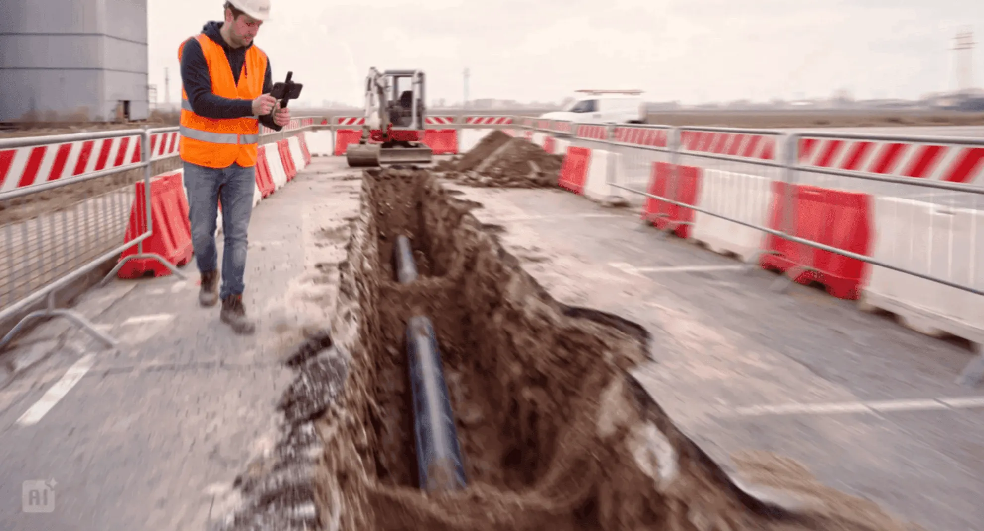
Utility excavation sites are a rich source of valuable information. With 3D Photo Survey, it is easier to capture and make use of it.
Product at a glance
Arcoda 3D Photo Survey digitises survey activities at excavation sites for distribution utilities. The app turns video footage captured with a smartphone and a high-precision GNSS receiver into georeferenced, measurable 3D models of the excavation site and network assets.
How it works
The operator connects the smartphone to a high-precision GNSS receiver and records video of the area through the app. The captured data are sent to the Arcoda cloud and automatically processed to generate georeferenced 3D models and orthophotos, available to the back office for viewing, measurements and checks.
3D Photo Survey turns survey results into structured technical data that can be reused and shared with the relevant business functions.
Benefits
Faster, automated activities
Scanning the excavation site takes just a few minutes, and the subsequent process is automated. The workflow is fully transparent, from the field survey to output available for use in business systems.
Faster map updates
Surveys carried out with 3D Photo Survey enable aspects of company GIS updates to be automated.
Survey work can also be entrusted to site personnel
The data capture procedure is simple and guided. It does not require specialist land surveying skills.
Enabling technology for the digital utility excavation site
3D Photo Survey is a technological pillar of the digital utility excavation site, helping overcome many of the limitations and complexities of traditional excavation site practices.
Simplicity
The survey requires a standard smartphone with the app and a small high-precision GNSS receiver. Neither complex equipment nor land surveying skills are needed.
End-to-end automation
Once data capture in the field is complete, the entire workflow is automated: data are sent to the cloud, processed and made available to the back office.
Accurate, reusable technical data
Surveys are transformed into 3D models, orthophotos and georeferenced, measurable information, creating a shared information base for technical and administrative activities.
Integration into business processes
The outputs can feed GIS, CAD and asset management workflows, helping bring information resources into line with the actual conditions surveyed more quickly and creating a structured connection between the excavation site and the back office.
Integration capabilities
Alongside native integration with other Arcoda software, 3D Photo Survey integrates with the utility’s business systems. 3D models, orthophotos and georeferenced data enrich GIS, CAD, document management and asset management environments. They support map updates, asset management, checks, completion reporting and any other activity that requires reliable, shared, measurable and up-to-date information on the actual state of network assets.
Digital site inspections
With 3D Photo Survey, site inspections can be carried out both remotely and in the field, even after the excavation has been backfilled.
From the office, the georeferenced 3D survey enables users to explore the area, analyse details, take measurements and share evidence with colleagues and technicians, reducing the need for additional site visits.
On site, once work is complete, dedicated augmented reality functions in the smartphone app display the now-buried network assets as digital holograms, accurately overlaid on the real environment. The field operator points the device at the area of interest to obtain an accurate visual reconstruction of what lies beneath the surface and view its composition and layout in the real-world setting, making network checks, analysis and management easier.