Cost estimates and new connections
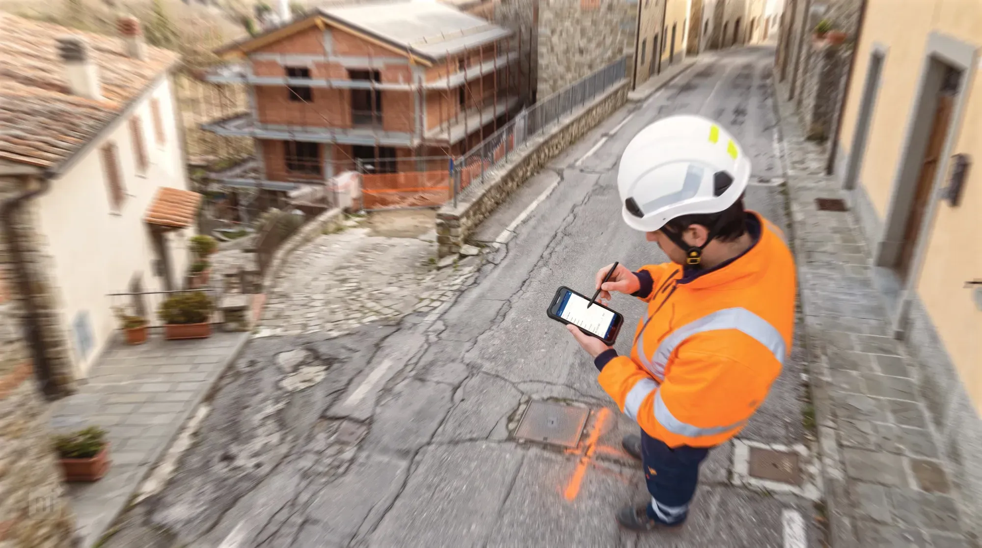
Valuable support for staff preparing cost estimates and carrying out connection work.
Arcoda digitises cost estimation and new connection workflows and makes them available on mobile devices. Directly on a smartphone or tablet, even without an internet connection, operators can access GIS maps of the network and the location of the supply point, such as an electricity supply point (POD), a gas supply point (PDR) or a water supply point, from which to develop the connection to the requesting customer’s meter. During the site visit, the technician can use the same smartphone or tablet to draw the proposed route directly on the digital map. The crew carrying out the work can then retrieve the design on their mobile device, record any changes made in the field and update the GIS with the as-built configuration.
Who is it for?
The solution is primarily aimed at cost estimation teams and external personnel who carry out new connection works for the contracting entity.
Benefits
Clear map views of electricity supply points (POD), gas supply points (PDR) and water supply points
During cost estimation, it is particularly useful to view the points to which the new connection must be linked, helping staff prepare an accurate cost estimate and share it with the crews carrying out the connection work in the field.
Improved surveying and data collection for cost estimates
With its mobile editing features, the solution lets staff use a smartphone to draw the planned new connection works directly on the on-screen map.
More efficient installation of new connections
The digital drawing prepared by the cost estimators gives the external contractor precise instructions on the work to be carried out. Once the work is complete, the contractor’s staff can use a smartphone or tablet to record any changes made in the field to the work specified in the estimate, making it easier to transfer the as-built configuration to the GIS.
More reliable network data
The editing features make it easier and faster to incorporate the updated network configuration into the GIS.
Full integration capabilities with WFM platforms
The solution integrates natively with Nami FSM, the Terranova group’s WFM platform, but can also be integrated with any WFM platform.
Integration with digital surveys (Arcoda 3D Photo Survey)
For new connections, integrating the solution with Arcoda 3D Photo Survey can be particularly useful, enabling digital surveying of the utility excavation site using a smartphone. With this integration, the solution automates the upload of as-built records to the GIS and updates to the network data, while also making it easier to calculate excavation volumes for valuing subcontractors’ work on non-standard new connections.
In depth
Greater accuracy in preparing cost estimates
Arcoda’s solution supports cost estimation directly from a smartphone through map editing. Using a smartphone, the staff member surveying the site for cost estimation can draw the section of network to be installed directly in the GIS while on site, even without a data connection. The exact lengths of the lines to be added are obtained directly in the app by drawing the missing sections on the map and using network tracing functions. The resulting data is then shared with the company’s CRM to prepare a quotation for the customer.
Using the GIS for a new connection
Once a work order has been opened for the new connection, Arcoda’s solution allows staff to access the GIS directly in the field, see on site where the connection is to be installed and confirm or amend the recorded work details during completion reporting.
When integrated with Arcoda 3D Photo Survey, a digital survey of the new connection is also carried out using a smartphone to generate the digital as-built automatically. This can be used to correct the company’s GIS and, for new connections not covered by a lump-sum payment, to measure the excavation volume and take measurements of installed assets directly in the 3D model.
Features
01
Offline-first operation
02
Map editing from a smartphone or tablet
03
Network tracing to calculate the length of the new connection
04
Integration with WFM platforms
05
Integration with Arcoda 3D Photo Survey
Products that make up the solution

Arcoda Next
Arcoda Next is a modular, offline-first app designed specifically for the operational needs of distribution network operators. When added to a utility’s application portfolio, it brings together the company’s GIS, documentation, customer data and innovative tools in a single app. These tools enable teams to explore, analyse and design the network directly in the field and make it easy for them to help keep the company database aligned with actual on-site conditions.

The solution is complemented by:
Discover how to use Arcoda solutions in your operational processes.
Tell us about your needs: together, we’ll identify the ideal solution for your processes.