Utility works management
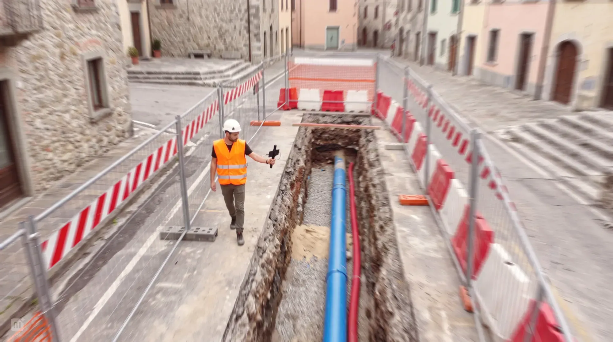
Document works, produce as-built records, manage utility excavation sites and keep network information up to date.
Arcoda supports works supervision by enabling teams to use smartphones to carry out 3D surveys and obtain orthophotos of areas where work is being carried out on the network. With digitised surveys covering the different stages of the work (excavation, installation and reinstatement), the contracting entity can receive daily progress updates, check the quality and appropriateness of the work and obtain as-built records to update the GIS.
Who is it for?
Utility staff responsible for works supervision, design and GIS, as well as subcontractors.
Benefits
View completed and ongoing works
Surveys carried out in the field automatically provide back-office staff with 3D models and orthophotos of the work carried out, which they can view, analyse and measure.
Faster, automated recording and georeferencing of installed assets
By using dedicated markers on site, staff can survey assets and georeference them at the same time, feeding the captured data into a workflow for updating the GIS and network asset records that can be automated.
Updating the GIS
3D surveys and orthophotos are saved in standard formats and form the as-built records of the works. They can be shared automatically with the company’s GIS and other systems and exported if required.
Reusing surveys for future on-site maintenance
Augmented reality features, also available on a smartphone, let staff view holograms of buried network assets in their actual positions on site, supporting maintenance work.
More objective measurement of completed works
The 3D survey accurately represents the shape of an excavation. Measurement tools provide precise data as an objective reference for both the contracting entity and the contractor.
In depth
Surveying utility excavation sites
With Arcoda’s solution, the works supervision team can equip the contracting entity’s site supervisors with a dedicated app so that a survey is carried out at the end of each work stage (excavation, installation and reinstatement) for each excavation site section (excavation segment). This allows the team to monitor progress at each site and check that the work has been carried out correctly in each section before validating it.
The design/GIS team can then incorporate the surveys validated by the works supervision team into the GIS, complete with georeferenced assets.
Augmented reality to support emergency maintenance
Arcoda’s solution provides augmented reality features that allow staff to retrieve the survey carried out during the original works and view it virtually within the work area when excavation is needed for maintenance following a fault or leak.
Using a smartphone, staff can see holograms of the now-buried network assets overlaid on the real-world view. Before breaking up the road surface and excavating, they can check which underground utilities are present beneath the road, identify their positions and precisely locate the pipe requiring maintenance.
Features
01
Use a smartphone to carry out 3D surveys and obtain orthophotos
02
Take excavation measurements directly from the office
03
View surveys in augmented reality
04
Asset recording
05
GIS integration capabilities
06
WFM integration capabilities
Products that make up the solution

Discover how to use Arcoda solutions in your operational processes.
Tell us about your needs: together, we’ll identify the ideal solution for your processes.